Exit guide · Bellingham
I-5 Exit 250 — what is actually there
24 of 25 named stops within a mile of the ramp, from our own map data.
withby tells you what is coming before the exit, not after it.
Start a withby driveSal's briefing
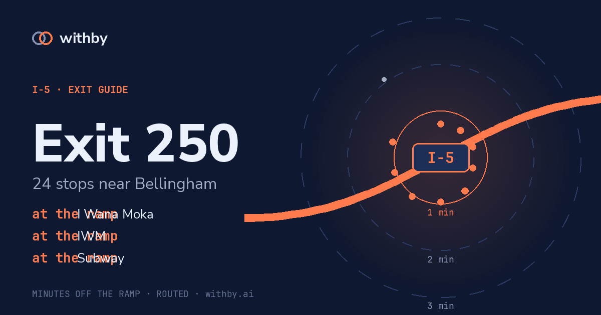
Exit 250, Bellingham. Within a minute and a half: restaurant, Skylark's Restaurant; coffee, I Wana Moka, IWM, Starbucks; grocery, ampm; fast food, Subway. 12 more within three minutes, mostly parks. 7 others are further out than that. Next exit is 252.
Plays on each exit after your first tap.
Stops near the ramp
no road access
Fairhaven Park
park
0.89 mi in a straight line
1 min 05 s
Skylark's Restaurant
restaurant
0.38 mi in a straight line
2 min 10 s
Padden Gorge
park
0.61 mi in a straight line
no road access
West Lake Padden Park
park
0.86 mi in a straight line
no road access
Interurban Greenway & Trail
park
0.70 mi in a straight line
no road access
Connelly Creek Nature Area
park
0.48 mi in a straight line
53 s
Old Fairhaven Parkway
park
0.31 mi in a straight line
1 min 02 s
Happy Valley Park
park
0.32 mi in a straight line
1 min 02 s
Samish Glen Open Space
park
0.31 mi in a straight line
2 min 04 s
Happy Valley Community Garden
park
0.52 mi in a straight line
2 min 43 s
Ridgemont Park
park
0.84 mi in a straight line
2 min 43 s
Ridgemont Neighborhood Park
park
0.84 mi in a straight line
2 min 56 s
Lenora Court Open Space
park
0.85 mi in a straight line
28 s
I Wana Moka
coffee
0.10 mi in a straight line
2 min 34 s
Super Duper Teriyaki
restaurant
0.84 mi in a straight line
28 s
IWM
coffee
0.10 mi in a straight line
37 s
Starbucks
coffee
0.16 mi in a straight line
2 min 34 s
Neighborhood Market
grocery
0.84 mi in a straight line
35 s
ampm
grocery
0.13 mi in a straight line
57 s
Subway
fast food
0.11 mi in a straight line
2 min 34 s
Mt Baker Imaging
restaurant
0.68 mi in a straight line
over 3 min
In & Out Food Mart
grocery
0.90 mi in a straight line
over 3 min
In N Out Food Store
grocery
0.91 mi in a straight line
over 3 min
JJ's Food Stop
restaurant
0.91 mi in a straight line
The big number on each stop is its detour cost: the driving time from this ramp to the stop, routed over the real road network with its one-ways and speed limits. The cards are ordered by it. Straight-line distance is real and is not what a driver cares about — a stop 0.3 mi away behind a median is worse than one 0.9 mi away off the ramp — so it sits underneath as a footnote.
withby tells you what is coming before the exit, not after it.
Start a withby drive