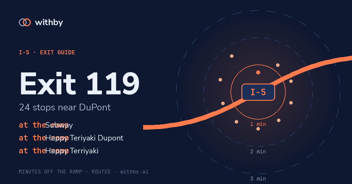
Exit guide · DuPont
I-5 Exit 119 — what is actually there
24 of 42 named stops within a mile of the ramp, from our own map data.
withby tells you what is coming before the exit, not after it.
Start a withby driveSal's briefing
Exit 119, DuPont. Within a minute and a half: restaurant, Farrelli's Pizza, Happy Teriyaki Dupont, Happy Terriyaki, Dupont Restaurant Inc; coffee, Starbucks Coffee Company, Starbucks. 19 more within three minutes, mostly parks. 18 others are further out than that. Next exit is 120.
Plays on each exit after your first tap.
Stops near the ramp
1 min 13 s
Farrelli's Pizza
restaurant
0.12 mi in a straight line
1 min 38 s
Harry L Robinson Memorial Park
park
0.18 mi in a straight line
1 min 44 s
Iafrati Park
park
0.23 mi in a straight line
1 min 21 s
Happy Teriyaki Dupont
restaurant
0.07 mi in a straight line
1 min 21 s
Happy Terriyaki
restaurant
0.07 mi in a straight line
2 min 25 s
Robinson Park
park
0.30 mi in a straight line
1 min 21 s
Dupont Restaurant Inc
restaurant
0.07 mi in a straight line
1 min 16 s
Starbucks Coffee Company
coffee
0.10 mi in a straight line
1 min 17 s
Starbucks
coffee
0.11 mi in a straight line
2 min 03 s
Nisqually School District No. 7 - 1861
memorial
0.25 mi in a straight line
2 min 20 s
Mayor Harry L. Robinson Memorial Park
memorial
0.30 mi in a straight line
2 min 25 s
Dupont Historical Museum
museum
0.31 mi in a straight line
2 min 43 s
Sellers Park
park
0.50 mi in a straight line
2 min 25 s
Bell Hill Community Park
park
0.59 mi in a straight line
at the ramp
JBLM - Main Dog Park
park
0.45 mi in a straight line
1 min 16 s
Ft Lewis Dog Park
park
0.53 mi in a straight line
1 min 52 s
Bell Hill
peak
0.42 mi in a straight line
1 min 27 s
Subway
fast food
0.04 mi in a straight line
over 3 min
Hudson's Bay Heritage Days BBQ Cookoff
restaurant
0.77 mi in a straight line
no road access
Bell Hill Forest Park
park
0.75 mi in a straight line
over 3 min
Ethel Lumsdon Park
park
0.59 mi in a straight line
over 3 min
Vehicle Park
park
0.41 mi in a straight line
no road access
91st Division Monument
monument
0.44 mi in a straight line
over 3 min
Lewis Army Museum
museum
0.41 mi in a straight line
The big number on each stop is its detour cost: the driving time from this ramp to the stop, routed over the real road network with its one-ways and speed limits. The cards are ordered by it. Straight-line distance is real and is not what a driver cares about — a stop 0.3 mi away behind a median is worse than one 0.9 mi away off the ramp — so it sits underneath as a footnote.
withby tells you what is coming before the exit, not after it.
Start a withby drive