Exit guide · Spokane Bridge
I-90 Exit 299 — what is actually there
22 named stops within a mile of the ramp, from our own map data.
withby tells you what is coming before the exit, not after it.
Start a withby driveSal's briefing
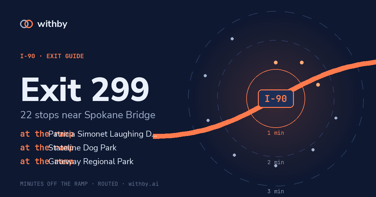
Exit 299, Spokane Bridge. Within a minute and a half: park, Gateway Regional Park. 15 more within three minutes, mostly restaurants. 6 others are further out than that. Next exit is 1.
Plays on each exit after your first tap.
Stops near the ramp
1 min 31 s
Patricia Simonet Laughing Dog Park
park
0.17 mi in a straight line
1 min 14 s
Gateway Regional Park
park
0.26 mi in a straight line
1 min 31 s
Stateline Dog Park
park
0.17 mi in a straight line
2 min 10 s
The Border Stop
restaurant
0.57 mi in a straight line
2 min 39 s
BluTaco
restaurant
0.73 mi in a straight line
2 min 39 s
Hangry's Stateline
restaurant
0.73 mi in a straight line
2 min 24 s
Bear Necessities
coffee
0.65 mi in a straight line
2 min 37 s
El Patio Bar & Grill
restaurant
0.72 mi in a straight line
2 min 38 s
Stateline Pizza And Subs
restaurant
0.74 mi in a straight line
2 min 34 s
Cooper's Express
restaurant
0.73 mi in a straight line
no road access
Beck & Pointe
coffee
0.99 mi in a straight line
no road access
Dutch Bros Coffee
coffee
0.99 mi in a straight line
2 min 32 s
Stateline Plaza
grocery
0.69 mi in a straight line
2 min 18 s
Chester's Chicken
restaurant
0.64 mi in a straight line
2 min 10 s
A1 Smoke Shop
grocery
0.57 mi in a straight line
2 min 26 s
Amerimart
grocery
0.68 mi in a straight line
2 min 32 s
Liberty Stop-N-Go
grocery
0.72 mi in a straight line
no road access
Gateway Conservation Area
park
0.56 mi in a straight line
no road access
Post Falls RV Campground
park
0.75 mi in a straight line
no road access
Walmart Bakery
restaurant
0.97 mi in a straight line
no road access
Taco Bell
restaurant
0.90 mi in a straight line
The big number on each stop is its detour cost: the driving time from this ramp to the stop, routed over the real road network with its one-ways and speed limits. The cards are ordered by it. Straight-line distance is real and is not what a driver cares about — a stop 0.3 mi away behind a median is worse than one 0.9 mi away off the ramp — so it sits underneath as a footnote.
withby tells you what is coming before the exit, not after it.
Start a withby drive