
 Place
PlaceSnoqualmie Ridge
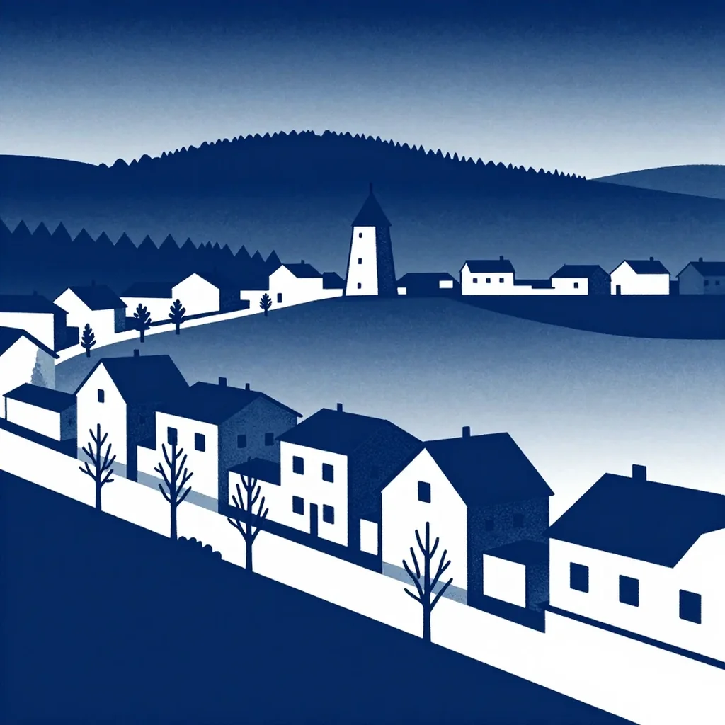
For a century the town of Snoqualmie barely stirred, and then in the 1990s the city annexed 1,300 acres of underdeveloped ground for a master-planned community called Snoqualmie Ridge [1]. The first residents arrived in 1998, and locals took to calling the place The Ridge [1]. The numbers tell the rest: Snoqualmie held 2,150 people in 2000 and 10,670 in 2010 [1]. The houses run along both sides of Snoqualmie Parkway, close together, nearly all of them two stories, and each design had to be approved, with varied rooflines, windows and surface materials encouraged to keep the streets from looking alike [1]. The guidelines asked for layouts arranged around people rather than automobiles, so sidewalks and trails carry residents where they need to go [1]. Many of the larger homes look out over the TPC Snoqualmie Ridge Golf Course and the Cascade foothills [1]. A community association approves those design plans and sets the standards for upkeep, fence height and the rest of its good-neighbor rules [1].
What Sal knows
Where it is on the road
Sources
- Neighborhood of the week: Snoqualmie Ridge | The Seattle Times https://www.seattletimes.com/business/real-estate/neighborhood-of-the-week-snoqualmie-ridge/