Exit guide
I-90 Exit 38 — what is actually there
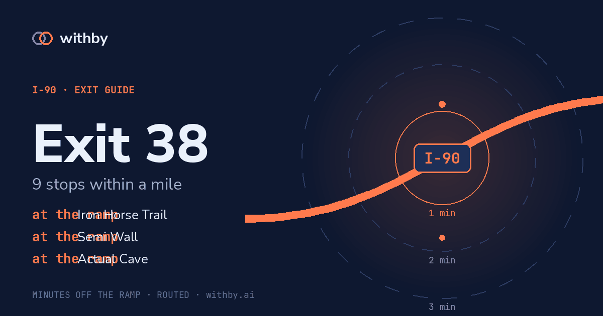
9 named stops within a mile of the ramp, from our own map data.
withby tells you what is coming before the exit, not after it.
Start a withby driveSal's briefing
Exit 38. Nearest stop, Iron Horse Trail. Within a minute and a half: park, Iron Horse Trail. One more within three minutes, park. 7 others are further out than that.
Plays on each exit after your first tap.
Stops near the ramp
1 min 09 s
Iron Horse Trail
park
0.14 mi in a straight line
1 min 42 s
Olallie State Park
park
0.78 mi in a straight line
no road access
Olallie Knob
viewpoint
0.84 mi in a straight line
no road access
Salal Point
viewpoint
0.41 mi in a straight line
no road access
Owl Hike Spot
viewpoint
0.68 mi in a straight line
no road access
Middle Twin Falls
waterfall
0.96 mi in a straight line
no road access
Semi Wall
attraction
0.25 mi in a straight line
no road access
Actual Cave
attraction
0.25 mi in a straight line
no road access
Club Paradiso
attraction
0.25 mi in a straight line
The big number on each stop is its detour cost: the driving time from this ramp to the stop, routed over the real road network with its one-ways and speed limits. The cards are ordered by it. Straight-line distance is real and is not what a driver cares about — a stop 0.3 mi away behind a median is worse than one 0.9 mi away off the ramp — so it sits underneath as a footnote.
withby tells you what is coming before the exit, not after it.
Start a withby drive